Cheryl and I drove out (but not back) the Ironman bike route on the road to Hawi. Today is a critical; analysis of the bike leg of the race, with pictures.
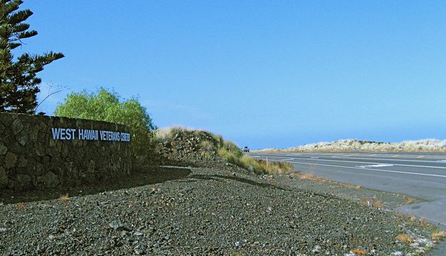
After about 15 miles of riding in and out of the blocked off streets of Kona, we hit the “real” biking in this race. Real meaning treeless, sometimes featureless terrain; unfiltered sun, at its zenith; deceptive hills; hide and seek side winds; and always the heat. It all starts past the airport, with a slow climb to the Veterans Cemetery road. Then we fly along a plateau for a few miles, until the Donkey Crossing sign, where the first downhill, and its accompanying winds, start.
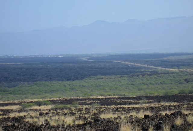
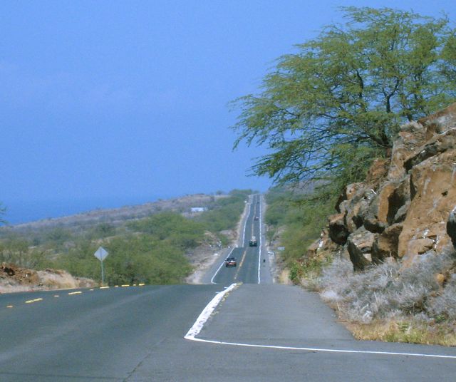
The grade down increases at “Scenic Point”, and we get our first view of the Waikoloa flats. This area traverses pure lava, and sits at the base of a saddle between two massive volcanos, funneling winds either down to or up from the ocean.
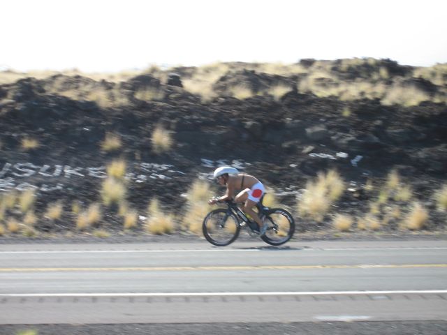
Notice a few things about this picture.
First, visitors to the island collect white coral scraps from the shores, and use the dark lava as a canvas for their graffiti. Second, this rider is going shirtless, but not heart rate monitor-less – a common sight around here. Third, and the real point I want to make, he’s riding along a wall created as the road cuts through the top of a lava outcrop. Once he reaches the end of that cut, he’ll be exposed to an abrupt wind hitting him from the side, while he is going at 25-30+ mph downhill. I shift my hands from the aerobar position, where he is now, to white knuckling the tiny little “bull horn” handlebars at the side. Notice there are no drop bars like a regular bike would have. Also, because this bike is designed to do one thing very very well – go fast in a straight line – steering is not its strong suit. The front end will very easily wobble unless one’s center of gravity is placed just perfectly fore-to-aft.
Down in the flats, we pass the road to the Waikoloa resort (remember the flags waving briskly in my entry a few days ago?), encounter a small uptick, and then another blast downhill into the winds heading into Kawaihae.
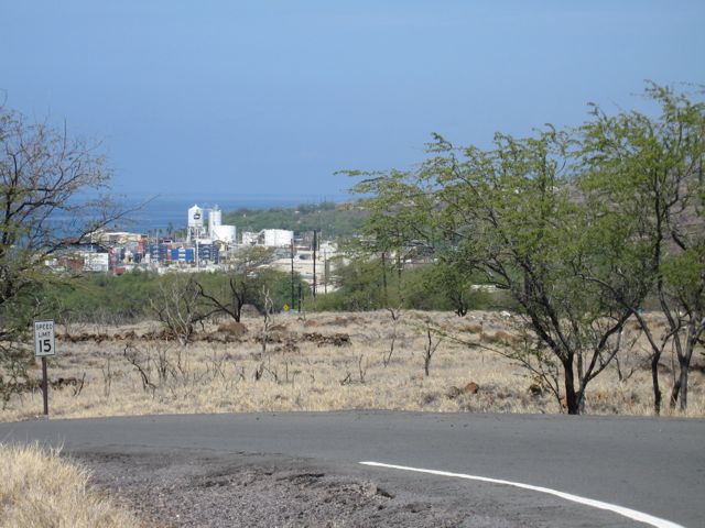
Kawaihae is an ugly port town, basically a place to store the containers coming off the ships until a truck can haul them to Kona or Hilo.
The last mile down into town (and back up again on the way back) contains the steepest section of the ride. Because the road is so narrow here, I could not get a photo of this spot.
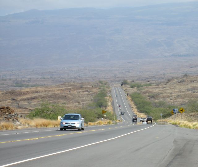
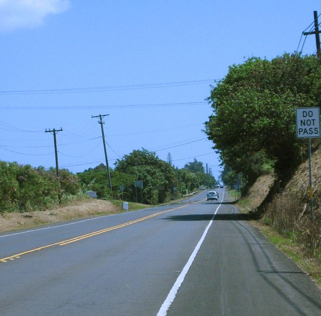
Out of Kawaihae, we head up a stair step series of short climbs, with “roller” drops and rises, for about 10 miles. This is where the heat and winds can often be murderous. WIthout wind, the heat can be even worse! Then, a more steady climb of 4 miles, finishing with a false flat and the first shade in three hours.
Then turn around, and do it all again from the other direction.
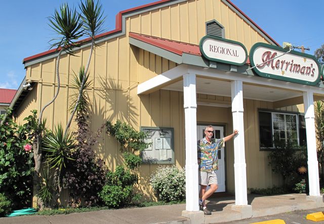
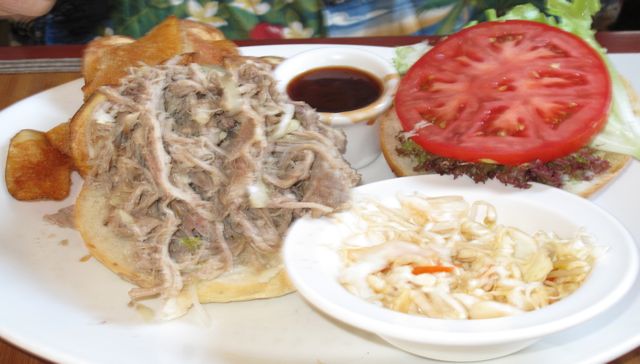
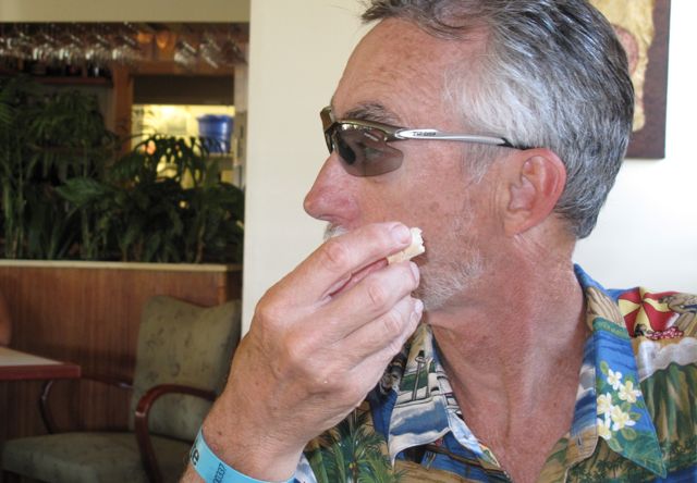
We decided, though, to head on up to Waimea and have lunch. we stopped at Merriman’s, which features locally grown food, served by an attentive staff, with reasonable prices.
It was a return visit there for us, as we had enjoyed it so much three years ago. Highly recommended.

