At 2729 meters (8930’) above sea level, Jomsom is roughly the same elevation as our home in Snowmass, Colorado. As we traveled the next two weeks, every now and then I would give Cheryl a reference of our elevation to the Snowmass ski mountain: “Jomsom is like the base of the Alpine Springs lift”.
While I don’t live full-time at altitude, I have spent enough time there over the past fifty years that I hardly notice the transition from lowlands to high. No headaches, nausea, or tiredness. The only concession seems to be a gradual slowing in my pace, the higher I go.
As a side effect of my triathlon obsession, I have a GPS watch, the Garmin Fenix 2, which provides me a dashboard of information sufficient to make an airline pilot envious. Altitude based on Global Positioning Satellites or barometer, thermometer, accelerometer, and a suite of built in algorithms to provide me with speed, distance, rate of climb, total climbing and descent, etc. (For a fuller description of this wrist computer, go here.)
So I know that on our first day, we walked 6.4 miles in 2 hours and 45 minutes (not counting rest, tea stops, and general dawdling for picture taking (Cheryl) or sightseeing (me.) Our total elevation gain was 870’, although Kagbeni is only 90 meters (300’) above Jomsom. Garmin records all this data, and displays it on the web with maps, charts and tables.
This trip is designed for gradual acclimation, so the second day was much like the first: 8.5 miles in 3 hours, 20 minutes, gaining 240 meters (787’) with 2536’ of total gain.
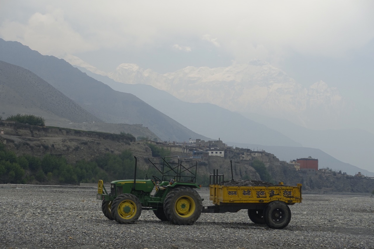
We started out the same as the first day – trudging up the river, stumbling over a crude trail mashed into the rocks. Powerful four-wheel drive “rock trucks” have slightly pulverized the river bed as they make their way up and down the Kali Gandaki. These vehicles are the ubiquitous work horses of the Mustang Valley. Moving at a stately 5 mph, they blast out Indian rock songs from their open air cabs, carrying workers and hauling rocks plucked from the river back to town. Without easy transport, or a local supply of wood, stone is the basic building material here. And there is plenty of it; all it takes is a strong back to load the trailer bed, and a capable driver to bring it in.
Since the river changes course frequently, there is no incentive to create a permanent route within the Kali Gandaki. So the “road” is often wherever the last truck came through. About a mile from town, the track led us out of the river proper, onto a steep bank about 10 feet up. A small settlement, not big enough for a name, guarded the small strip of flat land snugged between cliff and river. Chaim (our guide) moved confidently forward, but quickly came to a puzzling junction. The bank had grown to 20 feet over the river, just past an orchard and a stone wall, and the trail led straight down, as if the only way forward was to jump.
Never shy, he started talking with the man tending the trees nearby. While he conversed, we debated our clothing choices. It was getting warmer, but the wind was picking up. The best solution, I realised, was to convert my trekking pants to “shorts mode”, remove an upper layer, but add the all purpose Nepali headgear – the Buff. This is basically a muffler for the neck. It’s about 18 inches long, and can serve as a scarf to keep out dust and wind, a hat for the colder reaches, and a warming neck gaiter. From then on, I was never without it.
Chaim returned with his ever-present smile. “He says down there is only a local trail. Uh…we go back, cross the river on that little bridge.” He pointed to a narrow piece of driftwood lying on the rocks across the swift but shallow river. If you look carefully at the map on the link above, and zoom in on the squiggly portion, you’ll see the multiple back and forth we took to negotiate this obstacle. This would be almost the only time that Chaim backtracked. After fifty trips to the Mustang (so he says), he carries an infallible mental map of the region.
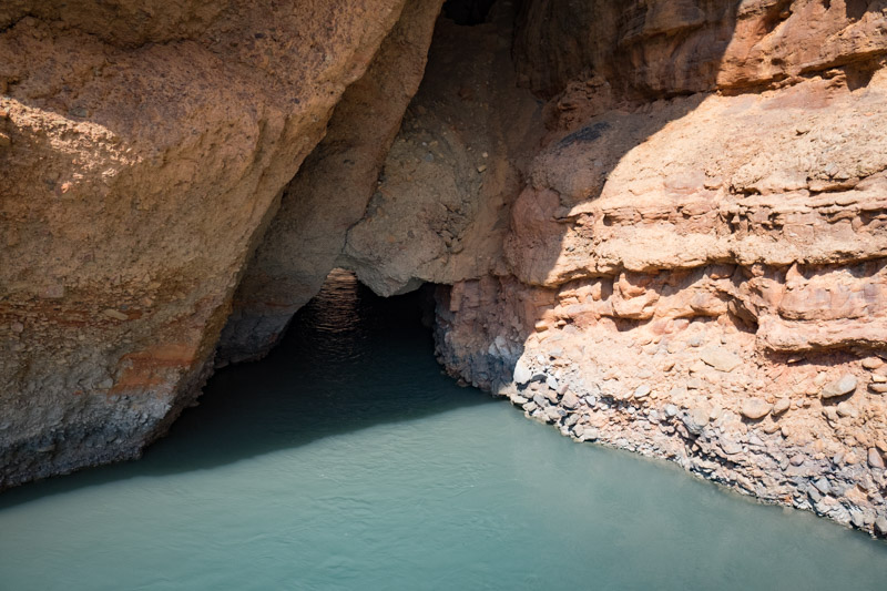
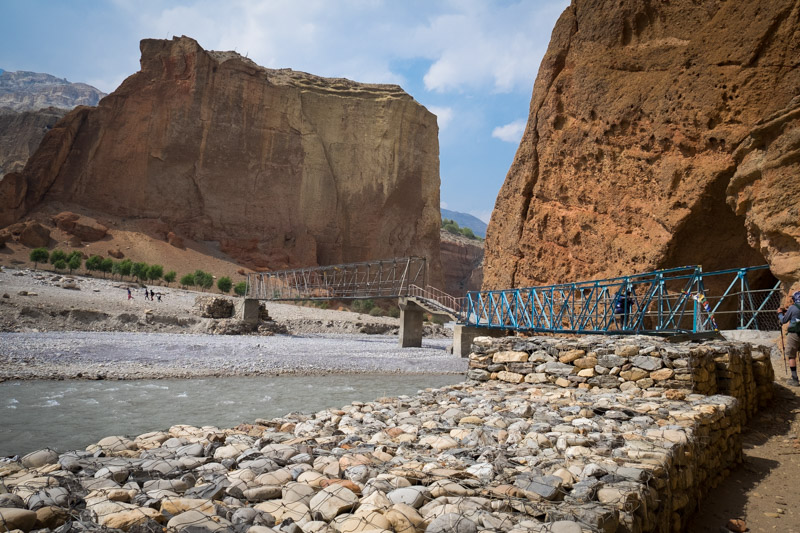
After passing through Chhusang for lunch, we headed out for our last kilometer on the river, At this point, the Kali Gandaki exits (we’re going upstream, remember) from a narrow red rock canyon. A giant slab of rock, the size of a Soviet apartment block, has fallen off the cliff face, tilting across the river to lean against the opposite canyon wall. The river is squeezed tight underneath the monolith; a steel pedestrian bridge takes us over to a precipitous trail leading up to Chele. It is here that Mustang truly begins.

South, below, down river from this point, the people are primarily Nepali in culture, language, and ethnicity. North, above, upriver, a Tibetan dialect is spoken, Tibetan Buddhism is practiced, and the culture, clothing and ethic appearance is all Tibetan, too. Even the food changes: barley for Tsampa, Yaks for butter to “flavor” the tea.
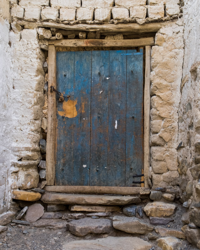
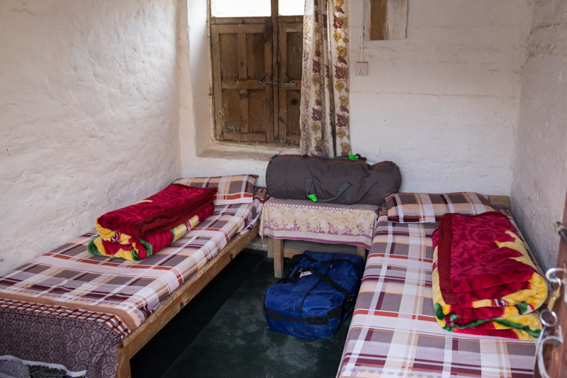
Chhusang and Chele are only a mile apart, a mere 250’ difference in elevation. But it seemed like passing through the looking glass. Chhusang bustled with horses, trees, a river confluence, lodges with hot and cold running water, signs denoting businesses. Chele was a monochromatic white, save for the brightly painted doors. Wood was piled along the edge of every roof, main walls and chortens popped up around every corner. Like a traditional Mustang house, our tiny room opened onto a third story roof top. I began to feel the slow moving magic of Tibet, even if only as a faint echo.
1 Response to Up, Up, and Away